In
the mid-1980's, two large office
complexes were constructed at
the point where Route 7 crosses
the Merritt Parkway: "Merritt
7" to the north of the parkway
and "Merritt View" to the south.
A new railway station went into
operation in 1985 to handle the
added traffic.
Earlier,
the "Flock Process Dam" provided
power to a mill below today's
parkway, and the "Winnipauk Millpond"
extended down to a point between
buildings 301 and 401 in today's
Merritt 7, north of the parkway.
No trace of the millpond survives,
though it is still shown on modern
maps. The administrative headquarters
for the Caldors department store
chain was in an old building sandwiched
between the parkway and Merritt
7, and Raccoon
Brook enters from the west
slightly further north.
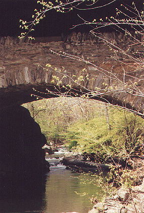
At Grist Mill Road, the old Norwalk
River bridge
survives under the new bridge
(black area at top).
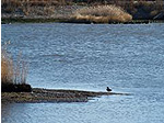
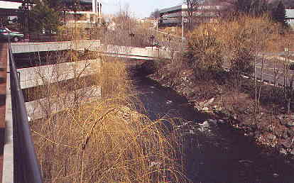
Looking north towards Grist Mill
Road from just
above Merritt 7. An attractive
part of the river.
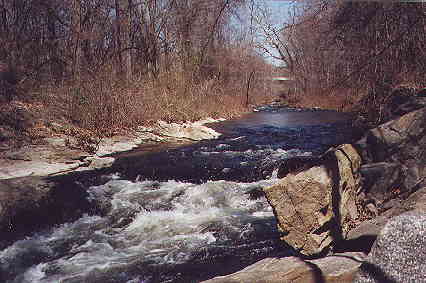
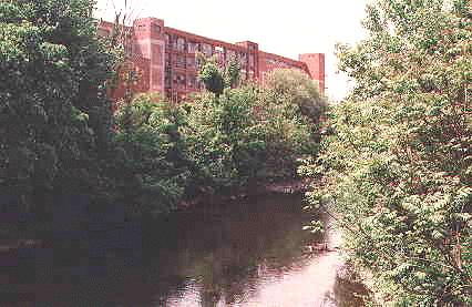
The Norwalk River flowing past
the Merritt 7
complex, site of the old Winnipauk
Millpond.
Beside the old Caldor's administrative
building
at Glover Avenue, just above the
Merritt Parkway.
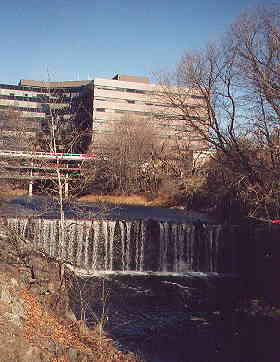
The Flock Process Dam, below the
Merritt Parkway.
Merritt View complex is in the
background.
<< UPRIVER
(14)
DOWNRIVER >>