The
lowlying parts of Norwalk near
the Perry Avenue bridge were
especially badly hit during
the 1955 flood of the Norwalk
River. Consequently, the reconstruction
effort was very agressive in
channelizing the river at that
point and further south. Since
1980, the US Geological Survey
has made water-quality measurements
about 8 to 12 times per year
just north of the Perry Avenue
bridge. Some of the measurements
can be retrieved at this
site (search for "water
quality" at station 1209710).
Below
the Perry Avenue bridge, the
Silvermine
River makes its appearance
at Deering Pond, a body of water
that was cut in two, forming
"East" and "West" ponds, by
the new Route 7.
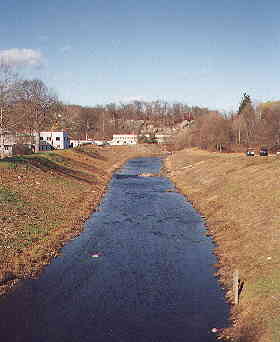
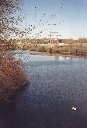
View of the Norwalk River, north
of the bridge
at Perry Ave. Water quality
measurements have
been recorded here since 1980
by the USGS.
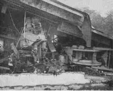
Major damage at the Roberk Company
plant
near this spot after the 1955
flood.
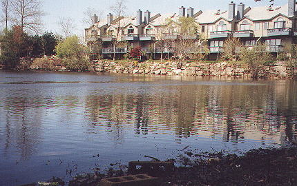
Deering Pond East and the block
of condominiums
that lie along its northeastern
shore.
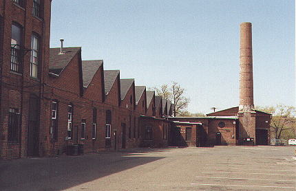
The Dresden Lace Works of 1903,
now the Muller
Industrial Park, overlooking
Deering Pond East.
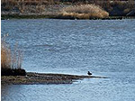
Deering Pond West, seen from
the Broad Street
Bridge. Here the Silvermine
River joins the Norwalk.
<< UPRIVER
(15)
DOWNRIVER >>