At
the south end of Wilton, practically
on the Norwalk line, Kent Road heads
west from Route 7 and immediately
crosses the Norwalk River. Beside
the Kent Road bridge is a green
silo-like structure that houses
a water-level recorder. It was built
by the United States Geological
Survey and, since 1962, it has provided
daily measurements of the river's
water flow. All of its measurements
from past years are now on the Web
at this
site.
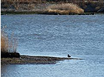
Just
south of Kent Road, Copts
Brook joins the Norwalk River
from the east.
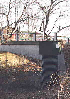
USGS Gaging station at Kent Road.
Instruments
in the green "silo" measure the
water's height.
<< UPRIVER
(13)
DOWNRIVER >>