BACK
to the Silvermine River.
To
get to the "source" of the Silvermine River,
start at Ridgefield's Town Hall, go a short
block down Main Street, turn left on Governor
Street and go down to the bottom of the
hill. Then, instead of turning left (to
the source of the Norwalk River), turn right
and go over the playing fields to Hurlbutt's
Pond, which is cut in half by Rowland's
Lane (a dead-end street opposite the East
Ridge Middle School).
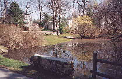
From
Hurlbutt's Pond, the watercourse extends
southward past the site of Ridgefield's
first mill (Benedict, 1717) at the corner
of Wilton Road East and Whipstick Road,
then into Wilton and west to Browns Reservoir.
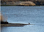
Hurlbutt's Pond on Rowland Lane in Ridgefield.
Source of the East Branch of the Silvermine
River.
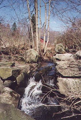
At Whipstock Road, gap in 600-foot-long
mill dam.
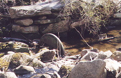
The old mill's drive wheel at Whipstock
Road.
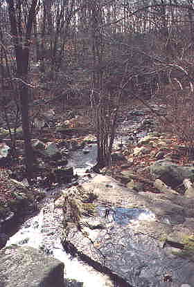
Descending a steep hill at Browns Reservoir.
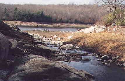
Entering Browns Reservoir (dry at this time).
BACK
to the Silvermine River