BACK
to the Norwalk River.
West
of Route 7 on Wolfpit Road, on the right-hand side after crossing
the railroad tracks is a very shallow pond known as Horseshoe
Pond. The small stream that flows through it supplies very
little circulation of water, so natural forces are reverting
the pond to a wetland. In the hills to the northwest is Leonard
J. Bradley Park, which has a nice Arboretum Trail and boardwalks
over wetlands that empty into various small, unnamed brooks
that flow down to the Norwalk River.
South
of Wolfpit Road are two significant ponds that were formed
in the 1950's by the removal gravel that was used for the
construction of Interstate 95. East of the railway tracks
is the "gravel pit" pond. Further south, and west of the tracks,
is Arrowhead Pond, which is now directly in the path of "Super
7".
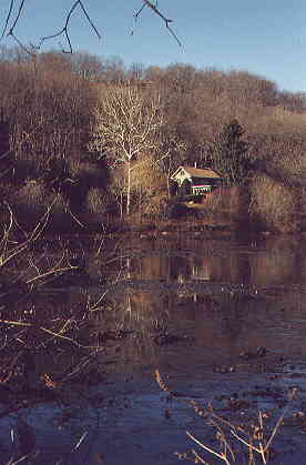
Horseshoe Pond, just west of Route 7.
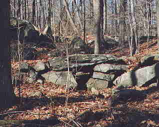
Slightly further to the west and further uphill, an
old slab bridge over a creek bed in Bradley Park.
The old bridge is wide enough to carry carts.
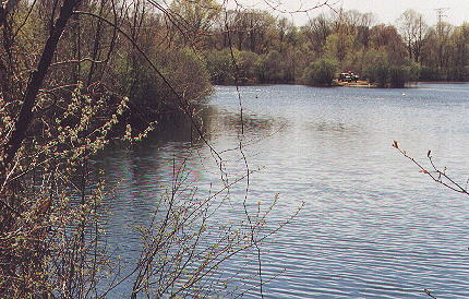
Gravel Pit Pond, with boaters at upper-right.
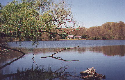
Arrowhead Pond, further south and west of the
tracks. Cormorants are often seen here.
BACK to the Norwalk River
|
