The
steady flow of water from the Great Pond combined
with a steeply sloping riverbed led to the construction
of many mills in this section of the river, which
runs through a narrow valley that it now shares
with Route 7 along the Ridgefield/Redding border.
From
Resseguie's mill near Little Pond (just below
Great Pond) to Olmstead's mill (1740) above Stonehange,
to Smith's mill (1780?) at Stonehenge, to Hull's
sawmill (1802) at Black Pond Mall below New Road,
to Cain's fulling mill (1771) at Topstone Road,
this was a very busy area in early times.
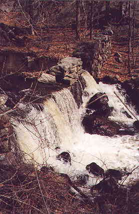
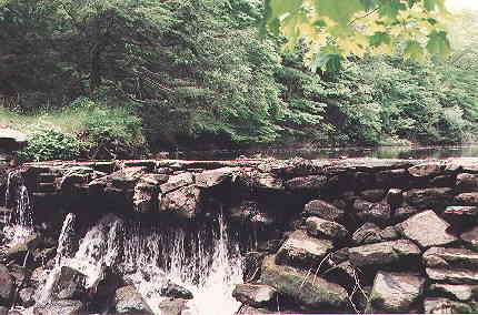
Dam beside Stonehenge Road, above Stonehenge Inn.
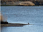
Rapids below the falls. Bridge with lake beyond.
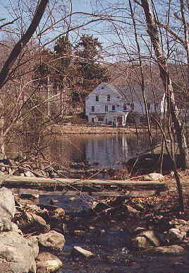
Stonehenge Inn and its pond. Public blazed trail
goes over a small tributary in the foreground.
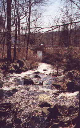
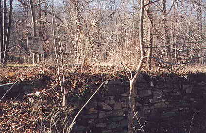
Mill dam at Black Pond Mall, south of New Road.
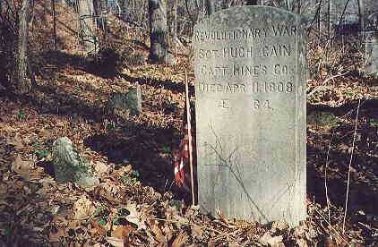
Scant remains of Hugh Cain's fulling mill. The
sign
reads "Historical Site, do not remove stones."