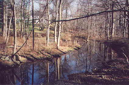
Taylors Pond

<< UPRIVER     (4)     DOWNRIVER >>
 

After a languid flow northward, the Norwalk River enters a steep and constricted area as it turns eastward. 
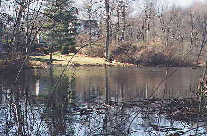
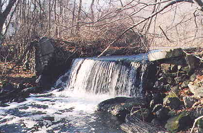
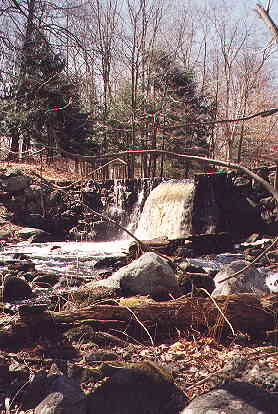
A small dam holds in the water of Taylors Pond, and a larger dam just to the east has been used for power since the 1730's when Burt's sawmill was located here. The watershed's northernmost point (somewhat east of here) reaches up to Bennett's Farm Road. A large building development in that area could have a serious adverse effects on the Norwalk River watershed.


Taylors Pond, west of Limestone Road, Ridgefield.


The outflow from Taylors Pond over a low dam.


An old mill dam just east of Limestone Road.


Norwalk River flowing east at Brookside Road.


<< UPRIVER     (4)     DOWNRIVER >>


Home | Atlas | Contact Us| Publications | Events | Watershed Information | Links | Water Quality

© Norwalk River Watershed Association, a 501(c)(3) nonprofit membership organization